DESCRIPTION: SOLD
French antique engraved plan from 1747 of Fort Williams, the English "slave fort" at "Juida" (Ouidah or Whydah) in the Kingdom of Dahomey, now the Republic of Benin, Africa.
The general layout of the lower fort is instructive. The layout defines a central square- the Place d'Armes"; large apartments and at the back of the fort lie fourteen small, windowless, cramped holding cells labeled "Lieu ou se tiennent les Negres" for the slaves in transit.
Fort Williams was trans-shipment point for cargoes of slaves shipped from the fort to points west including the West Indies, North and South America. For defense, the fort provided three triangular bastions and one circular bastion that could mount up to nineteen cannon.
From Prevost's 'Histoire Generale des Voyages'. Tome IV No.11.
Jacques-Nicolas Bellin (1703-1772)
Jacques-Nicolas Bellin was a prominent French hydrographer and geographer, recognized for his significant contributions to the development of cartography. For over half a century, Bellin served as the first Ingénieur de la Marine of the Depot des cartes et plans de la Marine (the French Hydrographic Office) and was appointed Official Hydrographer to the French King. His expertise and precision led to the production of thousands of significant nautical charts and maps, enhancing maritime navigation.
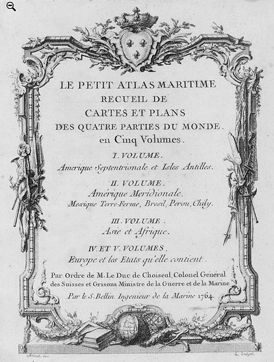
 Petit Atlas Maritime Title Page, 1764 Petit Atlas Maritime Title Page, 1764
One of Bellin's most notable works, "Le Petit Atlas Maritime," was published in 1764, encompassing five volumes of detailed charts and maps covering every part of the world. Bellin's cartographic legacy extends beyond France; his comprehensive maps and atlases were highly influential in shaping European understanding of global geography during the 18th century. His passion for accuracy and vast output have ensured his place in the annals of cartographic history.
PUBLICATION DATE: 1747
GEOGRAPHIC AREA: Republic of Benin
BODY OF WATER: N/A
CONDITION: Very good.
Clean with no issues.
COLORING: Hand coloring.
ENGRAVER:
SIZE: 6
" x
8 "
ITEM PHYSICAL LOCATION: 0
PRICE: $
ADD TO CART

|