DESCRIPTION: SOLD
Unrecorded, extraordinary, even spectacular pictorial map of British Columbia for Home Gas. The map was produced by artist Peter Hugh Page toward the end of the Great Depression (1936).
"Home Gas here offers you a map sensational!!
British Columbia is the province shewn.
And when you're feeling thoroughly vacational.
Pay us a visit and treat the place like home."
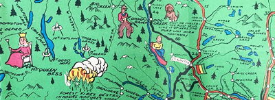 Pictorial B.C. road map details by Peter Hugh Page Pictorial B.C. road map details by Peter Hugh Page
Folding brochure (max. 26" x 20") with two similarly attractive smaller pictorial maps (each map 13" x 10") on the verso for Victoria, B.C. and for Vancouver, B.C.
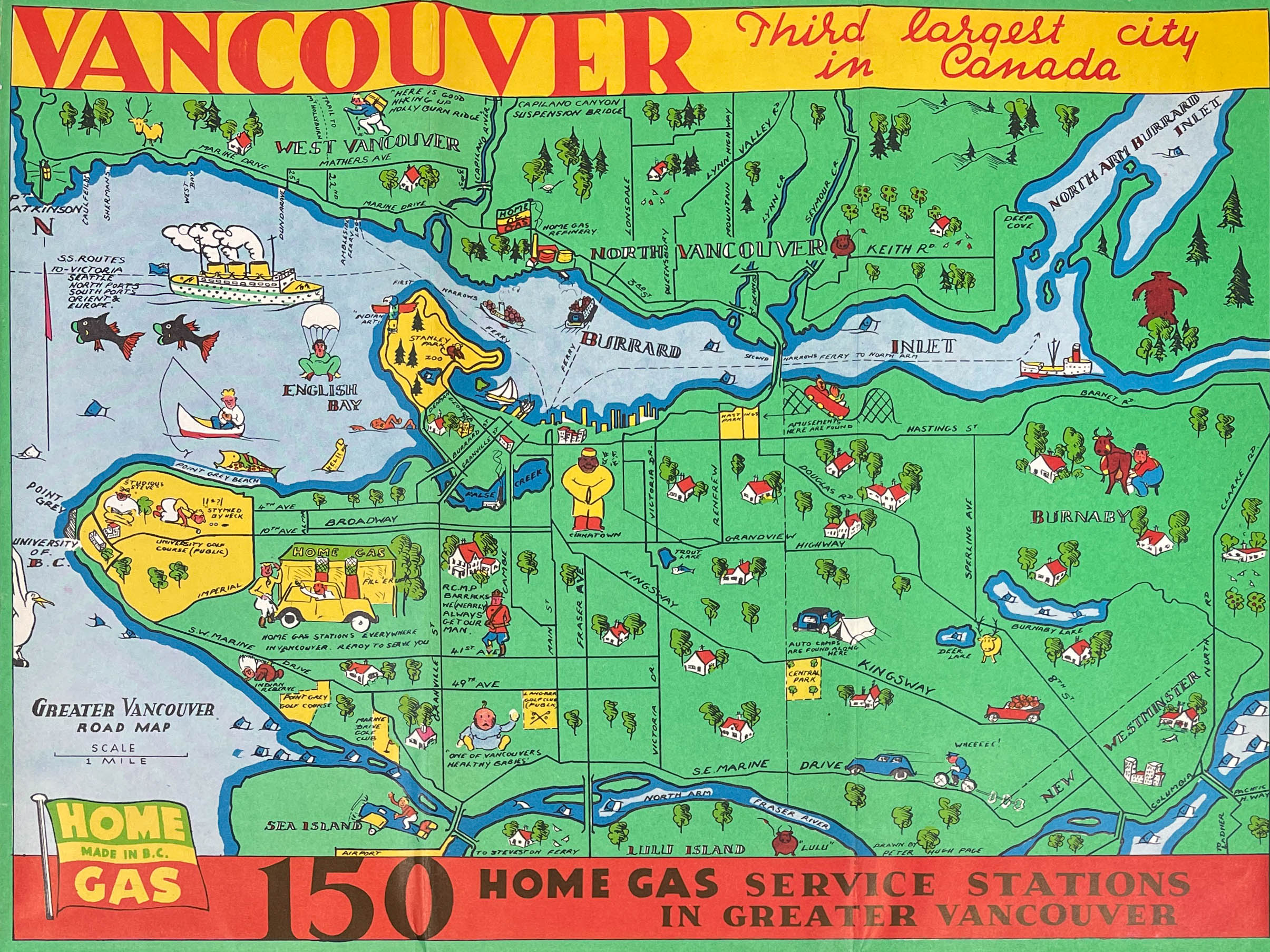 Pictorial road map of Vancouver, B.C. by Peter Hugh Page Pictorial road map of Vancouver, B.C. by Peter Hugh Page
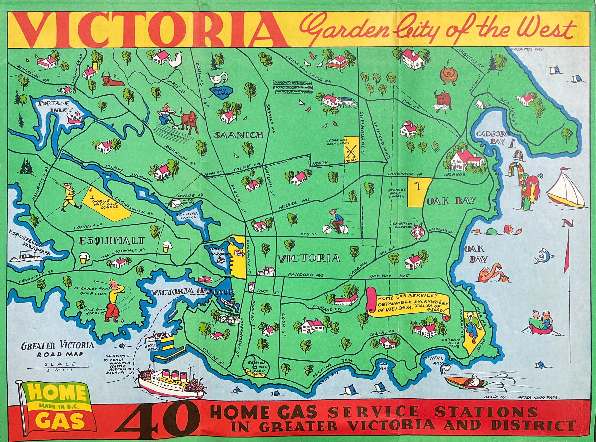 Pictorial road map of Victoria, B.C. by Peter Hugh Page Pictorial road map of Victoria, B.C. by Peter Hugh Page
Peter Hugh Page
Little biographical information is available online on Peter Hugh Page. Page authored several maps of Vancouver and Victoria during the end of the 1930's. Page's best known work is likely his map of Stanley Park, published in three editions, one before the construction of the Lion's Gate Bridge, the other shortly after. Page's greatest work I am aware of is the spectacular "Roadmap of British Columbia Highways" he authored in 1936 for Home Gas.
PUBLICATION DATE: 1936
GEOGRAPHIC AREA: Canada
BODY OF WATER: N/A
CONDITION: Very good.
Clean and fresh on the recto. Folds, as issued. Verso with a bit more wear especially toward the outer panels. Solid.
COLORING: Lithographed color.
ENGRAVER:
SIZE: 26
" x
20 "
ITEM PHYSICAL LOCATION: 150
PRICE: $
ADD TO CART

|